
Greenheart Gold Begins Diamond Drilling at Walaba as New Trenching Confirms Second Target at Swalanga



Greenheart Gold Inc. has started a 2,000 metre diamond drill program at Walaba, following trench results including 56.0 metres at 0.97 g/t gold at its Tosso Creek project in Suriname.
- A 2,000 metre diamond drill program has commenced at the Walaba target, with drilling at the Swalanga target to follow.
- Trenching at Walaba has outlined a broad gold-mineralized zone, including 52.0 metres at 0.77 grams per tonne of gold (g/t Au) and a higher-grade interval of 7.0 metres at 4.57 g/t Au.
- A newly identified target at Swalanga, located roughly 1 kilometre east of Walaba, returned a trench result of 56.0 metres at 0.97 g/t Au.
- Exploration to date has identified four target areas across the Tosso Creek project: Walaba, Swalanga, Maconia and Sevil.
- Additional trenching and geological mapping are ongoing at Maconia and Sevil, with several assay results still pending.
Greenheart Gold Inc. (TSXV: GHRT) (OTCQX: GHRTF) is a Canada-based gold exploration company focused on the Guiana Shield, a geological region in South America that hosts numerous gold deposits and remains relatively underexplored. The company's leadership team previously worked together at Reunion Gold, where they were involved in discovering and defining the Oko West gold deposit in Guyana. The company holds a portfolio of early-stage gold exploration projects in Guyana and Suriname.
Initial 2,000 Metre Diamond Drill Program Commenced at Walaba Target, Targeting Depth Continuity of Broad Gold-Mineralized Zone
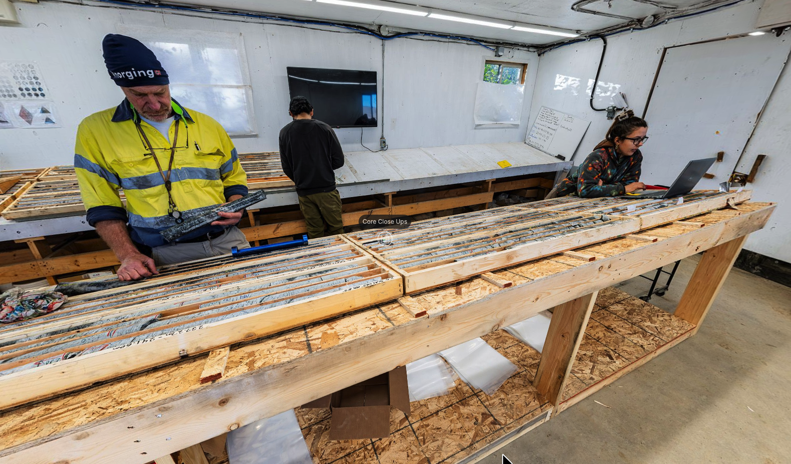
Greenheart Gold has commenced its first diamond drill program at the Tosso Creek project, with 2,000 metres planned initially at the Walaba target before the rig moves to Swalanga. Diamond drilling extracts a solid, cylindrical core of rock from underground, which is logged and sent for assay. The program is designed to evaluate structural controls on gold mineralization, test its continuity at depth, and provide geological data for subsequent drill planning.
Walaba is located in the central-western part of the project area and was defined through soil sampling followed by trenching. The trench work outlined a broad, north-northwest trending zone of mineralization that remains open toward the south. Recent results include 52.0 metres at 0.77 g/t Au, with higher-grade sections of 4.0 metres at 1.68 g/t Au and 6.0 metres at 1.29 g/t Au inside that interval. A separate trench returned 7.0 metres at 4.57 g/t Au, including a 4.0 metre section at 7.89 g/t Au, alongside a nearby 23.0 metre interval at 0.86 g/t Au, including 5.0 metres at 2.79 g/t Au.
These results follow trenching released in February 2026, which included an interval of 62.0 metres at 0.71 g/t Au at Walaba. The company states that the combined results support a broad mineralized corridor at Walaba, with the potential for higher-grade shoots within, or adjacent to, that corridor.
Significant New Trench Results at Swalanga, Including 56.0 Metres at 0.97 g/t Au, Confirm Second Structurally Controlled Target 1 Kilometre East of Walaba
Swalanga is a newly identified target located approximately 1 kilometre east of Walaba, defined through soil sampling and followed up with trenching. The target follows a similar north-northwest trend to Walaba.
A trench at Swalanga, TOST26-030A, returned 56.0 metres at 0.97 g/t Au, including higher-grade sections of 11.0 metres at 1.53 g/t Au, 8.0 metres at 1.25 g/t Au and 16.0 metres at 1.01 g/t Au. Additional trenching has since been completed to the north and south of this result, with assays from much of that work still pending.
The company intends to use the broader trenching program at Swalanga to assess the continuity of mineralization over a strike length of approximately 900 metres.
Four Target Areas Identified Across Tosso Creek, With Additional Trenching and Geological Mapping Ongoing at Maconia and Sevil
Exploration completed to date at Tosso Creek, including soil sampling, trenching, geological mapping, LiDAR interpretation and drone magnetic surveys, has identified four target areas: Walaba, Swalanga, Maconia and Sevil. LiDAR uses laser pulses from the air to map ground surface features through vegetation, while drone magnetics measure variations in the earth's magnetic field that can indicate buried geological structures.
At Maconia, located north of Walaba and Swalanga, the initial trenching program is largely complete, though assay results remain outstanding. At Sevil, the company has identified a target area near the contact between granitoid rock and volcano-sedimentary rock. Additional trenching, mapping and sampling are planned at Sevil and along other parts of this contact where soil results indicate follow-up is warranted.
The Tosso Creek project is located near the southern end of the Paramaka Formation, a rock sequence that also hosts the Sara Kreek artisanal gold fields to the northwest of the project.
Milestones and Next Steps
The 2,000 metre drill program is currently underway at Walaba and will be followed by drilling at Swalanga. Pending items include assay results from the additional Swalanga trenching and the completed Maconia trench program, along with continued trenching and mapping at Sevil. These results are intended to inform the company's assessment of structural controls on mineralization and its continuity at depth, along with planning for subsequent drilling at Tosso Creek.
Analyst's Notes





Subscribe to Our Channel



Stay Informed